The Town on the Roadside
The inexhaustible beauty of the Crimean town of Bilohirsk and its pristine nature.
Alex Verba. "Krymska Svitlytsia" newspaper, 2019, issues No. 33-34
Once upon a time, in leisurely times when route buses drifted along Crimean roads for long hours and did not dock their tired iron bodies at transit bus stations for just two minutes, they rested in this town for half an hour or more. Because it spread right halfway from the southeastern coast of the peninsula to its administrative center. One of the most important caravan markets of the late Middle Ages, it is now only a district center, although of a rather large but otherwise little-famed foothill district. And the liners of distant Crimean routes do not turn here.
As soon as an attentive passenger spots a sign with the name on the roadside right after the bridge over the deep river Karasu, then catches sight of a distinct military monument on a pine hill and a cubic structure resembling an administrative building behind it, the next sign with the crossed-out red name of the town will indicate — that's it, we have passed it...
Actually, the town remains somewhere there, beyond the roadside, where its indistinct quarters can be seen between the roadside forest belts and distinct bright white cliffs in the distance. That white miracle is the famous Crimean Ak-Kaya: White Rock. It was because of it that post-war Karasubazar was renamed Bilohirsk.
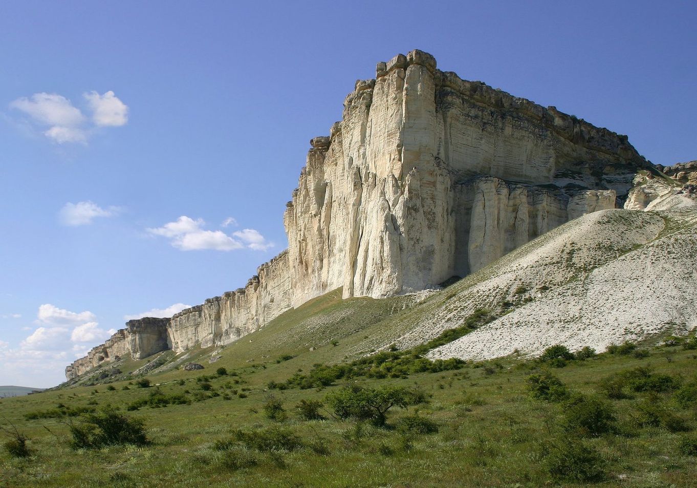
Ak-Kaya (White Rock)
Karasu is a small river on which the town is located. Its name literally translates into Ukrainian as "black water" (qara — black, suv — water); in Turkic languages this is the name for rivers that start from springs emerging from under the ground (unlike aq suv — white water flowing from mountain glaciers).
The first inhabitants of this place can be considered Neanderthals, whose camp was found by archaeologists in the Chervona (Red) Ravine.
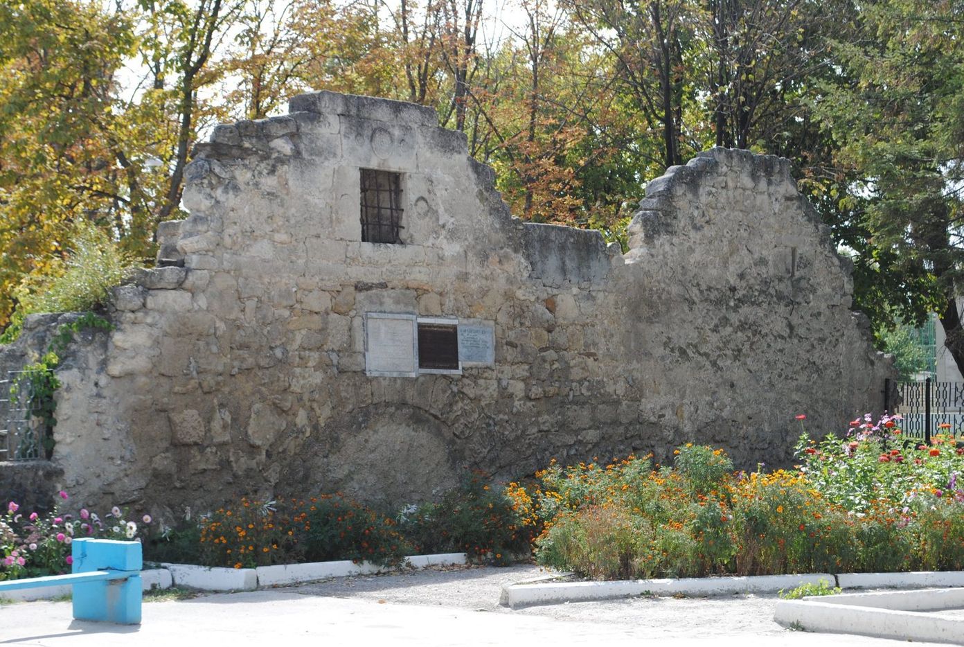
Tash-Khan Caravan-sarai, 13th-16th centuries, Bilohirsk
14 kilometers from Bilohirsk, during excavations, the so-called "Taurian stone boxes" were found — burials of the Bronze Age, remarkably similar to dolmens found in the Caucasus.
The name of the Neolithic Kemi-Oba culture comes from the Kemi-Oba mound in the Bilohirsk district.
From black water to white mountain... The first mentions of this town appear in the 13th century. Markets are formed at the intersections of routes, and the location of Karasubazar at the crossroads of roads from the west of the peninsula to the important port of Kaffa and from the east of Crimea to Bakhchysarai greatly contributed to the rise of this town and the Shirin clan, one of the most influential in the Crimean Khanate.
If you look closely, you can see real traces of the past. If the town has the word "bazar" in its name, it is natural that the first structure in this town should be an inn for arriving merchants. And if this is an eastern city, then the inn will be called "caravan-sarai". The Karasubazar caravan-sarai Tash-Khan, according to historians, was built as early as the 13th century, if not earlier. Only its ruins have survived.
In 1620-1622, Bohdan Khmelnytsky was in Karasubazar after being captured by the Tatars. In the 17th century, Karasubazar was subject to revenge from Ukrainian Cossacks — because it was the main center of the slave trade. In 1624, 1628, 1630, and 1675, the Zaporozhians captured Karasubazar and plundered it.
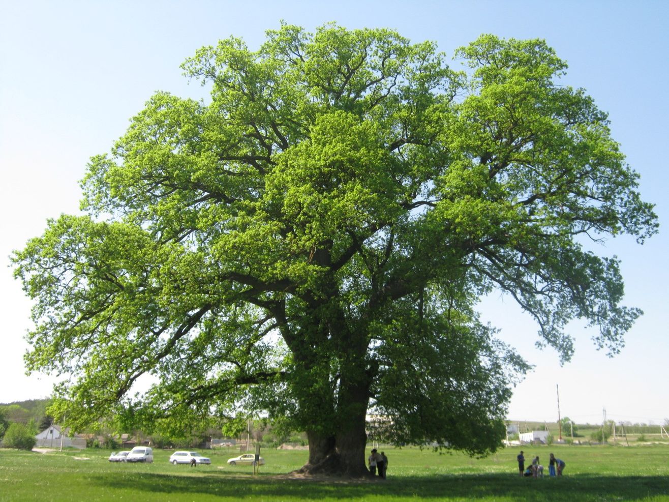
"Suvorov" oak
In the 18th century, Johann Thunmann wrote about Karasubazar: "One of the largest cities in Crimea, located in a valley, in a very beautiful area. Biyuk-Karasu flows through the center of the city. The city belongs to the Kalga-Sultan. Previously, the Greeks called it 'Mavron Kastron'; at the beginning of the 14th century, the Franciscans had a monastery here. In 1737, the city was captured by the Russians."
Mavron Kastron in Greek means black fortress.
In the 18th century, there was a period, about a year, when Karasubazar became the residence of the Crimean Khan and the de facto capital of Crimea.
Subsequently, in 1772, the Treaty of Karasubazar was signed in this town between the Russian Empire and the Crimean Khanate, which secured the transition of Crimea from Turkish protectorate to Russian, which, as we know, led to the complete liquidation of the Crimean Khanate in a few years.
Near Bilohirsk, you can see the "Suvorov oak", under which Russian-Turkish negotiations allegedly took place. In fact, the oak is over 750 years old, and it once had a different name, and its history is much more interesting. This oak has seen a great deal — how much it could tell if only trees could talk... Among natural sites, we must mention the Kok-Asan Canyon, virtually unknown even to most Crimeans, with its cascade of waterfalls and healing springs — "baths of health."